E-Mountain Bike & Cross-Country Itinerary – Vallons de Bons
Sport, Cycling sports, Electric mountain bike route
in Les Deux Alpes
5.0
km
Round-trip
Medium
-
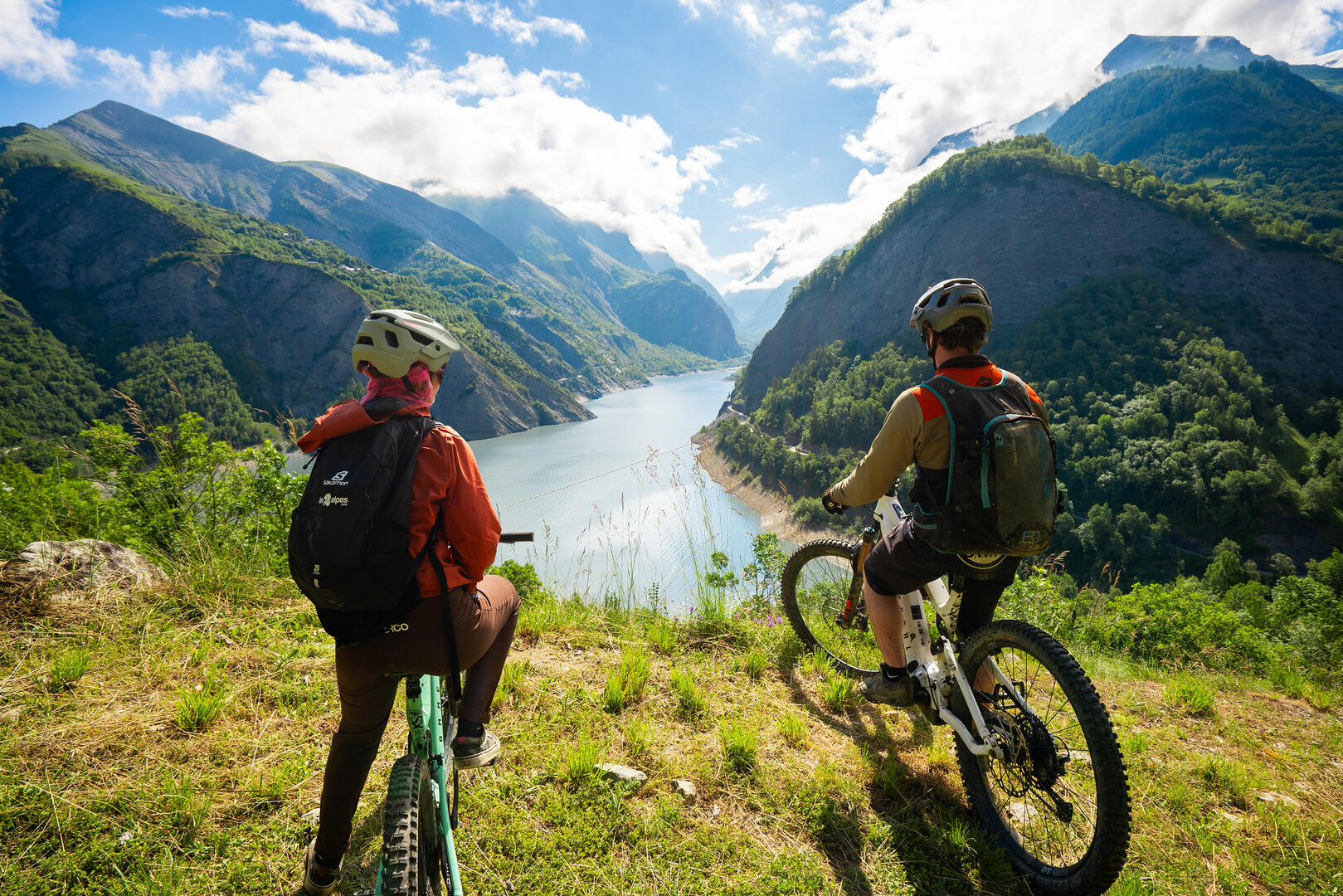
Starting from the Vallée Blanche ski lift, the Vallons de Bons route offers a lovely cross-country ride through the heart of the Oisans countryside.
-
Over a distance of around 5 km, the route alternates between wide, rolling tracks and narrower single-track sections, with no major technical difficulties.
The climb, steady but sustained, winds through a succession of forests and mountain pastures, offering a varied and immersive ride. In the upper section, the route becomes more playful with sections of single track before gradually opening out onto the open spaces of Le Fioc.
Although technically accessible, the route remains physically...Over a distance of around 5 km, the route alternates between wide, rolling tracks and narrower single-track sections, with no major technical difficulties.
The climb, steady but sustained, winds through a succession of forests and mountain pastures, offering a varied and immersive ride. In the upper section, the route becomes more playful with sections of single track before gradually opening out onto the open spaces of Le Fioc.
Although technically accessible, the route remains physically demanding, with a significant elevation gain concentrated over a short distance. It is best suited to regular cyclists and is not particularly suitable for families, except on e-MTBs.
The route leads to the site of the former Bons chairlift, which has now been dismantled. There, an orientation table and picnic tables allow you to fully enjoy a well-deserved break.
The summit offers a sweeping view over the entire Bourg-d’Oisans valley, making the climb well worth the effort.
A short but intense route, ideal for a challenging ride, combining exertion and contemplation in a preserved natural setting.
- Departure
- Les Deux Alpes
-
-
Plain text period
- From 13/06 to 30/08/2026 daily.
-
-
-
Spoken languages
-
-
-
-
-
Documentation
- GPX / KML files allow you to export the trail of your hike to your GPS (or other navigation tool)
-
- See all reviews