E-MTB and Enduro trail – Petite Aiguille
Sport, Cycling sports, Electric mountain bike route
in Les Deux Alpes
3.4
km
One-way
1h 30min
Hard
-
Petite Aiguille is an e-MTB and enduro trail.
Start from the bottom of the Chemin des Demoiselles.
Route length: 3.4 km with +220 m of elevation gain.
Technical descent (red level) with possible connecting trails. -
Starting from the bottom of the Chemin des Demoiselles, this route offers an escape beyond the marked bike park trails, aimed at riders seeking thrills and more hidden lines.
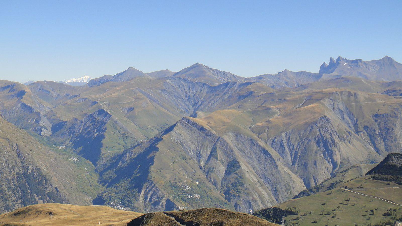
From the very first meters, the trail drops into a descending single track, delivering a flowy, playful, and technical ride. It winds through alpine pastures with stunning views of Lake Chambon in the background.
The route stands out for its off-the-beaten-track character, alternating between open alpine sections and...Starting from the bottom of the Chemin des Demoiselles, this route offers an escape beyond the marked bike park trails, aimed at riders seeking thrills and more hidden lines.
From the very first meters, the trail drops into a descending single track, delivering a flowy, playful, and technical ride. It winds through alpine pastures with stunning views of Lake Chambon in the background.
The route stands out for its off-the-beaten-track character, alternating between open alpine sections and cooler forested areas, adding rhythm and variety. The terrain is demanding, with technical sections requiring solid riding skills.
The descent leads to Lake de la Buissonnière, a key junction offering several options:
• continue downhill by joining Tallias (red bike park trail)
• or climb back up to reach the Vallée Blanche side, crossing the road via the bridge
A short but committed route, a true hidden gem, ideal for riders looking for natural, technical, and scenic terrain.
- Departure
- Les Deux Alpes
-
-
Environment
-
-
-
Spoken languages
-
-
-
-
-
Documentation
- GPX / KML files allow you to export the trail of your hike to your GPS (or other navigation tool)
-
- See all reviews